Rice River Flowage*(Nokomis)
By Little Rice. Shared with Lincoln County. 764 acres, 26 feet at the deepest.
Ice on Rice River Flowage*(Nokomis)
No ice reports from Rice River Flowage*(Nokomis) in the last two weeks.
What folks saw out there, not the DNR. No ice is safe ice; check it yourself.
Fish
- Common: panfish, largemouth bass, northern pike and walleye
- Also there: musky and smallmouth bass
How the DNR lists them. It doesn't say how the fishing is.
Boat landings
- Near County YMap · DNR details
Water and bottom
- Bottom: 65% sand, 15% gravel, 15% rock, 5% muck
- Kind of lake: a drainage lake: a stream runs in and out
Invasive species
The DNR has found Chinese mystery snail, Eurasian water-milfoil and rusty crayfish here.
State law: before you leave the landing, pull off any plants and critters, drain all the water out of your boat, motor, livewell and buckets, and never move live fish away from the lake.
Depth map
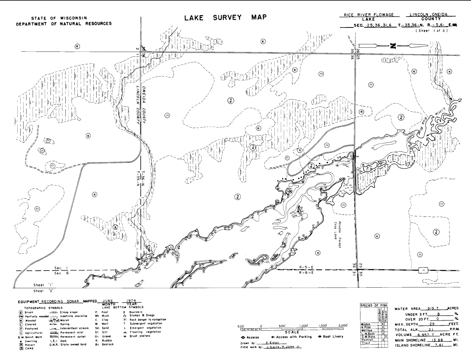
Wisconsin DNR lake survey map, mapped June 1974. Mind the north arrow; some of these old maps are turned sideways. It's old and not for navigation; shorelines and depths change. The DNR lists the lake at 764 acres today. The DNR's original (PDF)
Lake facts from the Wisconsin DNR's page for Rice River Flowage*(Nokomis), checked October 26, 2026.